
Northumberland's Wild Heart: A Walker's Guide from Otterburn to Hadrian's Wall
Discover the breathtaking landscapes where Roman legions marched, medieval armies clashed, and nature reigns supreme in England's last great wilderness
Northumberland offers what every walker seeks: empty trails, dramatic landscapes, and history you can feel beneath your boots. From the remote moorlands around Otterburn to the iconic stone curtain of Hadrian's Wall, this corner of England provides a walking experience that nourishes both body and soul. Whether you seek gentle riverside ambles or challenging ridge walks, this comprehensive guide will lead you through Northumberland's finest routes.
Disclaimer: This is meant as a fun guide to suggest possible conditions. Please plan your walks beforehand by consulting alternative resources, maps and weather apps. We are not responsible for getting lost or missing information.
Detailed Walk Directions: From Otterburn's Doorstep
1. Otterburn Riverside & Village Amble
Easy • 3km circular • 1 hour • Start: Otterburn Mill (NE19 1NP)
Step-by-Step Navigation:
From Otterburn Mill's main entrance, turn right onto the B6320 road, then immediately cross the stone bridge over the River Rede.
Immediately after crossing, locate the signed footpath on your RIGHT (east bank of river). Follow this clear gravel path upstream.
After 600m, you'll reach a wooden footbridge on your left. DO NOT CROSS. Instead, continue straight ahead on the path that now moves away from the river edge.
After 200m, the path meets a quiet lane. Turn RIGHT here, following the lane as it curves left past white cottages.
At the T-junction with Chapel Row, turn LEFT. St. John's Church is 50m ahead on your right. Visit the churchyard for battlefield information.
From the church, continue east on the lane for 150m to reach the village green with its Celtic cross war memorial.
From the green's northwest corner, take the path between houses marked "To Otterburn Mill."
This emerges at the Mill's rear courtyard. Your car or starting point is straight ahead.
Key Features: The River Rede's gentle flow, the 14th-century church with battle commemoration, peaceful village green, and Otterburn Mill's excellent café for post-walk refreshments.
2. Otterburn Hall & Deer Park
Moderate • 6.5km circular • 2 hours • Start: Otterburn Mill car park
Detailed Route Instructions:
From the Mill, turn LEFT onto the B6320 road (west). Walk carefully for 300m to the T-junction with the A696.
Turn RIGHT onto the A696 pavement. Walk north for EXACTLY 400m until you see a stone cottage called "Riverdale" on your left.
Immediately after Riverdale, take the signed public footpath LEFT through a metal gate into the Otterburn Hall estate.
Follow the obvious track through mixed woodland for 800m. Ignore smaller paths branching off.
When you reach a clearing with a wooden bench overlooking the Hall's walled garden (on your right), take the left fork uphill.
Climb steadily for 500m until you emerge from trees at a wooden gate. Pass through into open parkland.
Here, turn RIGHT to follow the fence line northwest. You now have continuous views of the Deer Park to your left.
After 1.2km, the fence turns sharply right (north). Follow it downhill through bracken for 600m to a farm track.
Turn LEFT onto this track, passing through two gates. After 800m, you'll reach a minor road.
Turn RIGHT on the road, which leads you directly back into Otterburn village. At the junction, turn left to return to the Mill.
Navigation Note: This route uses public rights of way through private estate land. Stick to the paths and respect all signage.
3. The Battlefield & Percy Cross
Moderate • 8km circular • 2.5 hours • Start: Otterburn Mill
Precise Battlefield Route:
From the Mill, walk west on the B6320 for 200m to the village war memorial.
Opposite the memorial, take the lane signed "To Pennine Way" between houses.
Follow this lane uphill for 400m until it ends at a gate onto open moor.
Go through the gate and immediately turn LEFT to follow the fence line southwest.
After 300m, you'll intersect the Pennine Way National Trail (signposted with acorn symbol).
Turn RIGHT onto the Pennine Way, heading northwest. The path is clear and well-trodden.
Walk for 2.5km across Otterburn Hill moorland. You're now walking the likely ground of the 1388 Battle of Otterburn.
Look for Percy Cross on your left after 2.5km—a medieval boundary stone on a small mound.
For the circular return: 100m past Percy Cross, leave the Pennine Way by taking a faint path heading NORTHEAST (11 o'clock direction from the main path).
Follow this over rough ground for 800m to reach a fence. Turn RIGHT to follow the fence.
After 1km, you'll reach a minor road. Turn LEFT and follow this quiet road for 2km back into Otterburn.
At the village, turn right at the junction to return to the Mill.
Historical Note: The Percy Cross likely predates the battle and marked the boundary of the Percy family's hunting grounds.
4. Pennine Way North to Chew Green
*Strenuous • 16km out-and-back • 5 hours • Start: Riverdale Tea Room layby (A696, NT772048)*
Remote Moorland Navigation:
From the layby, locate the Pennine Way marker post. Follow the stone-paved path heading NORTH.
The initial climb is steep—300m ascent over the first 1.5km. Take your time.
At the top (Blakehopeburnhaugh), the path levels. Continue STRAIGHT on the flagstones for 3km.
You're now following Dere Street Roman Road. Notice the straight alignment.
After 5km total from start, you'll see a stone shelter—Yearning Saddle—on your left. This is an emergency refuge.
From Yearning Saddle, continue NORTH on the clear path descending gently.
After 1.5km (6.5km total), you'll see earthworks on both sides—this is Chew Green.
Explore the multiple layers: Roman marching camps, medieval settlement, and later shielings.
IMPORTANT: This is your turnaround point. Retrace your steps exactly along the Pennine Way.
Critical Safety Notes:
This is serious moorland walking with no mobile signal for most of the route
Compass bearing from Yearning Saddle to Chew Green is 350° (just west of north)
Last safe turnaround in poor weather is Yearning Saddle
Tell someone your route and expected return time

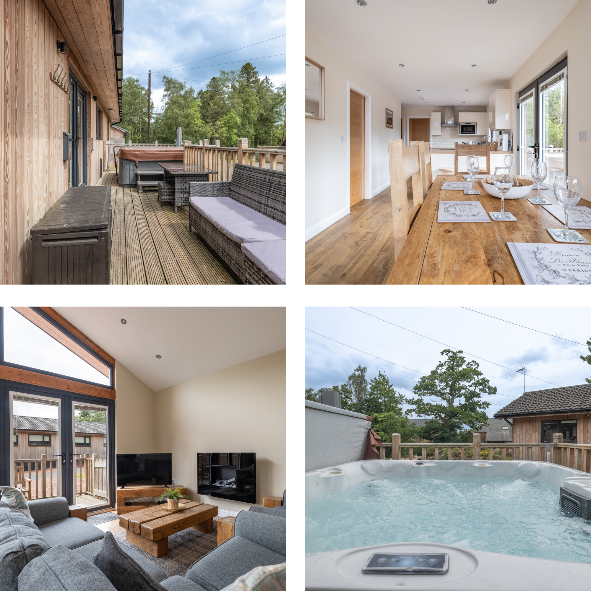
The Retreat, Otterburn
Surrounding Area Treasures: Detailed Routes
Redesdale Arms & Reservoir Walk
Easy • 5km circular • 1.5 hours • Start: Redesdale Arms (NE19 1TA)
Step-by-Step:
From the inn's front door, turn LEFT onto the A68 road.
Walk north for 200m to the signed footpath on RIGHT just past the phone box.
Follow this track downhill for 800m to the reservoir's edge.
Turn LEFT to follow the shoreline path. After 1.2km, you'll reach the dam.
Cross the dam and immediately take the path uphill on your RIGHT.
This climbs gently for 1km to meet a farm track.
Turn RIGHT, following this track east for 1.5km back to the A68.
Turn LEFT on the A68 pavement for the final 300m to the inn.
Elsdon's Perfect Village Circuit
Moderate • 8km circular • 2.5 hours • Start: Elsdon village green (NE19 1AA)
Detailed Circuit:
From the green's east side, take the lane past the pele tower museum.
After 400m, at the last house, take the signed footpath RIGHT through a gate.
Follow this field-edge path south for 1.2km to a wooden footbridge over Elsdon Burn.
Cross and climb the stone stile immediately ahead.
Turn LEFT to follow the burn upstream on its west bank for 800m.
Where the valley narrows, take the RIGHT fork uphill (signed "Middleton").
Climb steadily for 1.5km to reach open moorland at a cairn.
From the cairn, follow the fence line on your LEFT (east) for 2km.
At a gate, enter woodland and descend on the clear path for 1km.
Exit woods at a lane. Turn RIGHT, following this back into Elsdon (1km).
Simonside Hills Ridge Walk
Strenuous • 11km circular • 4 hours • Start: Lord's Walk car park, Rothbury (NE65 7AY)
Precise Ridge Navigation:
From the car park, take the path marked "Simonside Hills" climbing steeply through pine forest.
After 1.5km of continuous ascent, you emerge at Dove Crag—dramatic sandstone outcrops.
Bear LEFT at the crags to join the Simonside ridge proper.
Follow the clear path along the escarpment edge for 3km, passing multiple tors:
Little Church Rock (2km from start)
Simonside Cairn (highest point, 429m)
Beacon Rock (with panoramic viewpoint)
At the end of the ridge, descend southwest on the obvious path into forestry.
After 1km in trees, turn LEFT at a T-junction onto a broader track.
Follow this for 2km until you see a sign for "Rothbury" pointing right.
Take this right turn, descending through mixed woodland for 2km back to the car park.
Viewpoints: From the ridge, you can see the Cheviots (north), the North Sea (east), and on clear days, the Scottish Borders.
Willow Lodge, Otterburn
Hadrian's Wall: Iconic Section Walks
Housesteads Fort & Sycamore Gap Circuit
Moderate • 6km circular • 2 hours • Start: Steel Rigg car park (NE47 7AN)
Detailed Circuit Directions:
From the car park toilet block, take the signed path EAST toward Housesteads.
Immediately climb the famous "stairs" up to the Wall.
Turn LEFT (east) to walk along the Wall top for 400m to Milecastle 39.
Continue east for another 800m to reach Sycamore Gap.
Photography tip: Best light is early morning. The tree is in the dip just past the second crag.
Continue east for 1.2km more to Housesteads Fort (entry fee).
After visiting the fort, exit via the main gate and take the path heading WEST signed "Steel Rigg 2 miles."
This lower path runs parallel to the Wall. Follow it for 2.5km, passing Knag Burn Gateway.
The path ends at a lane. Turn LEFT, then immediately RIGHT up the track back to Steel Rigg car park.
Steel Rigg to Crag Lough (Linear)
Moderate • 8km linear • 2.5 hours • Start: Steel Rigg • Finish: Once Brewed
Step-by-Step Linear Route:
From Steel Rigg car park, take the path WEST from the information board.
Immediately face the "rollercoaster"—a series of steep dips and climbs over the Whin Sill.
The sequence: Down to Peel Gap, up to Peel Crag, down again, up to Hotbank Crags.
At the top of Hotbank Crags (after 2km), you get the iconic view of Crag Lough below.
Continue west along the Wall for 1.5km to Milecastle 38.
Another 1km brings you to Rapishaw Gap where the Wall becomes less complete.
The path now follows field edges for 1.5km to the Twice Brewed Inn.
Cross the B6318 road carefully to reach Once Brewed Visitor Centre (your finish).
Bus Return: The AD122 bus stops opposite the visitor centre. Check current timetable for return to Steel Rigg.
Chesters Fort & River Tyne
Easy • 4km circular • 1.5 hours • Start: Chesters Fort car park (NE46 4EU)
Family-Friendly Route:
Visit the fort and museum first (entry fee).
Exit the fort via the eastern gate (nearest the river).
Follow the path downhill to the exceptional Roman bathhouse by the river.
From the bathhouse, take the riverside path heading EAST (downstream).
Follow this pleasant path for 1.5km until you reach a wooden footbridge.
Cross the bridge and turn immediately LEFT.
Follow this woodland path for 800m back to the car park entrance.
Total walking time excludes fort exploration—allow extra 1-2 hours for proper Roman immersion.

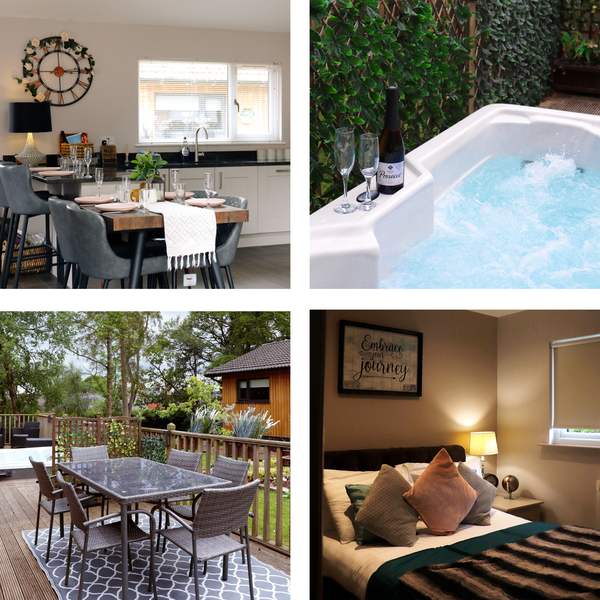
The Secret, Otterburn
The Walker's Toolkit: Essential Information
Navigation Mastery
Primary Map: OS Explorer OL42 (Kielder Water & Forest)
Hadrian's Wall: OS Explorer OL43
Digital Backup: OS Maps app with premium subscription for live tracking
Compass Skills: Essential for moorland walks around Otterburn
Seasonal Considerations
Spring (Apr-May): Best for birdlife, but prepare for sudden showers
Summer (Jun-Aug): Busiest on Hadrian's Wall, midges in Kielder forests
Autumn (Sep-Oct): Stunning heather on moorlands, cooling temperatures
Winter (Nov-Mar): Potentially snowy, some paths impassable, short days
Transport Logistics
To Hadrian's Wall from Otterburn: A68 south to Corbridge, then B6318 military road
Parking Strategy: Arrive before 10am at popular Wall car parks
Bus Network: AD122 runs April-September only
Taxi Services: Pre-book for linear walk returns: Hexham Taxis (01434 606060)
Historical Context for Your Walks
As you walk these routes, you're traversing layers of history:
Roman Era (122-410 AD): Hadrian's Wall frontier
Medieval Period: Otterburn Battlefield (1388), pele towers
Industrial Age: Kielder's logging history, reservoir construction
Modern Conservation: Dark Sky Park, rewilding projects
Settlers Lodge, Otterburn
Suggested Multi-Day Itineraries
The History Explorer (3 Days)
Day 1: Morning at Chesters Roman Fort walk, afternoon Corbridge Roman Town
Day 2: Full-day Housesteads & Sycamore Gap circuit with picnic
Day 3: Otterburn Battlefield walk followed by Elsdon village circuit
The Family Adventure (2 Days)
Day 1: Kielder Water Lakeside Way (short section) with forest playground and visitor centre
Day 2: Chesters Fort & River Tyne walk, then drive to Hexham Abbey
The Serious Hiker's Challenge (4 Days)
Day 1: Simonside Hills from Rothbury (strenuous)
Day 2: Pennine Way to Chew Green from Otterburn (remote)
Day 3: Steel Rigg to Housesteads extended walk (14km)
Day 4: Redesdale Arms & Reservoir recovery walk
Local Wisdom: Tips from Northumberland Walkers
Weather Windows: Check MWIS (Mountain Weather Information Service) for hill forecasts
Midges: Use Smidge repellent from June-September, especially around Kielder Water
Refreshment Timing: Many rural pubs stop food service at 2pm sharp
Gate Etiquette: Close all gates unless there's a sign saying otherwise
Sheep: Give lambing ewes (March-May) wide berth
Ticks: Check after walking through long grass or bracken
Photography: Golden hour is magical on Hadrian's Wall—consider an evening walk
Walking Through Living History
Northumberland's walking landscape offers something remarkable: complete immersion in nature with constant historical companionship. One moment you're following Roman centurions along the Wall, the next you're tracing the steps of medieval knights at Otterburn, then you're alone with only skylarks and curlews on the Pennine Way.
The routes detailed here range from gentle introductions to serious challenges, but they all share Northumberland's essential qualities: space, silence, and stories. Whether you're photographing Sycamore Gap at dawn, exploring Chew Green's lonely ruins, or simply enjoying tea at Otterburn Mill after a riverside stroll, you're participating in a tradition as old as the hills themselves—the simple, profound act of walking through beautiful landscape.
Final Advice: Don't rush. These walks aren't about covering distance quickly. They're about noticing the way light catches Roman stone, hearing the curlew's call across the moor, feeling history beneath your feet, and returning refreshed with the peace that only comes from time spent in truly wild places.
"In every walk with nature one receives far more than he seeks." – John Muir
Start Planning:
Maps: Ordnance Survey OL42, OL43, OL16
Information: Northumberland National Park Authority website
Accommodation: Consider Otterburn as a central base
Booking: Reserve parking at popular Hadrian's Wall spots in peak season
Northumberland awaits. Pull on your boots, pack your map, and discover why this ancient borderland captures walkers' hearts like nowhere else in England.